How Polish Cities Define Cycling Space
Across Poland, cycling infrastructure falls into several distinct categories under the Road Traffic Act (Prawo o ruchu drogowym). A droga dla rowerów — a dedicated cycle path — runs physically separated from motor traffic and pedestrian footways. A pas ruchu dla rowerów — a marked cycle lane — shares the carriageway with cars but occupies a designated strip. Both are legally recognised; the practical experience of riding each differs considerably.
Warsaw leads in absolute kilometres of infrastructure, with approximately 750 km of dedicated cycling paths and lanes recorded by the city's Zarząd Dróg Miejskich (ZDM) as of early 2025. Kraków follows with around 300 km, Wrocław with 320 km, Gdańsk with 280 km, and Łódź with roughly 230 km. These figures include both off-road paths and on-road marked lanes.
Warsaw: A Network With Gaps
Warsaw's cycling map displays an expanding lattice of routes radiating from the city centre toward outer districts. The north–south axis along the Vistula riverbank — the so-called Trasy Rowerowe nad Wisłą — provides one of the longest uninterrupted off-road cycling corridors in Poland, extending around 55 km from Młociny in the north to Wilanów in the south.
Central Warsaw, however, remains patchy. Aleje Jerozolimskie, one of the city's main east–west arteries, carries a mix of designated lanes and sections where cyclists merge with bus lanes. Cyclists familiar with the route know which junctions lack bicycle-specific signals and where painted markings fade.
On streets built or rebuilt after 2015, Warsaw requires cycle lanes or shared footway markings by default. Older roads present a different picture.
The city has introduced contraflow lanes on several one-way streets in the Śródmieście district, allowing cyclists to travel against the flow of motor traffic. These are marked with salmon-coloured asphalt and signage at each end. The Zarząd Zieleni Miejskiej has also been extending paths through park corridors, notably through Łazienki and Skaryszewski park.
Kraków and the Old Town Challenge
Kraków's cycling network faces a structural constraint the capital does not: a historic city centre where road widths preclude standard cycle lanes. Within the old town ring (Stare Miasto), cyclists share space with pedestrians on limited footways, or use contraflow arrangements in designated zones. The city has installed a number of shared zones (strefy zamieszkania) in residential streets adjacent to the centre, where speeds are capped at 20 km/h.
Outside the ring, Kraków's network is more coherent. The Wisła riverbank path mirrors Warsaw's format, connecting Zwierzyniec in the west with Nowa Huta in the east — a distance of roughly 30 km. The eastern section through Nowa Huta is notable for its width and surface quality, having been comprehensively resurfaced between 2022 and 2024.
The main challenge for cycle commuters in Kraków is crossing the city's primary east–west road corridors at-grade. Junctions on Aleja Mickiewicza and Aleja Krasińskiego carry heavy motor traffic volumes and offer limited cycling provisions beyond painted stop lines.
Wrocław's Coherent Approach
Wrocław is frequently cited in Polish municipal cycling reports as having one of the more consistent approaches to cycling infrastructure planning. The city adopted a Cycling Development Plan (Plan Rozwoju Infrastruktury Rowerowej) in 2018 that set targets for connected corridors rather than isolated stretches of lane.
The network is structured around a series of radial routes converging on the city centre, with cross-connections forming partial rings at around 3 km and 7 km from the Market Square. Surface quality on dedicated paths is generally high — asphalt predominates, with coloured markings at conflict points. Cyclists travelling between major districts such as Krzyki, Fabryczna, and Psie Pole can complete much of their route off-road.
Wrocław has also installed a significant number of cyclist-actuated traffic signals, which reduce waiting times at major junctions and are activated by a detection loop or push-button pole mounted at cycling height.
Reading the Road Markings
Polish road markings for cyclists follow European Convention on Road Signs and Signals conventions, supplemented by Polish regulations. The key markings a cyclist will encounter include:
- Blue bicycle symbol on asphalt — marks the start of a dedicated cycle path or lane.
- Dashed white line — separates a cycle lane from the motor traffic lane on shared carriageways.
- Salmon or red asphalt — used at junctions and contraflow lanes in some cities; not a national standard but increasingly common.
- Green box at junctions — an advanced stop line area allowing cyclists to position ahead of motor traffic at traffic signals.
- Sign C-13 — the mandatory cycle path sign; cyclists must use the path when it is present.
- Sign F-19 — indicates a shared footway and cycle path with designated sections for each.
Where two cycle paths converge or where a cycle path meets a pedestrian crossing, yield obligations default to standard right-of-way rules unless additional signage specifies otherwise. This creates uncertainty at some older junctions where signage was installed under earlier regulations.
What Route Planning Apps Show — and Miss
Applications such as OpenStreetMap-based routing tools (Komoot, Mapy.cz, OsmAnd) draw their cycling data from community-maintained maps. The coverage of Polish cycling infrastructure in OSM is extensive in cities and patchy in suburban areas. Routes recommended by these apps may include paths that have been removed, modified, or are temporarily closed for construction.
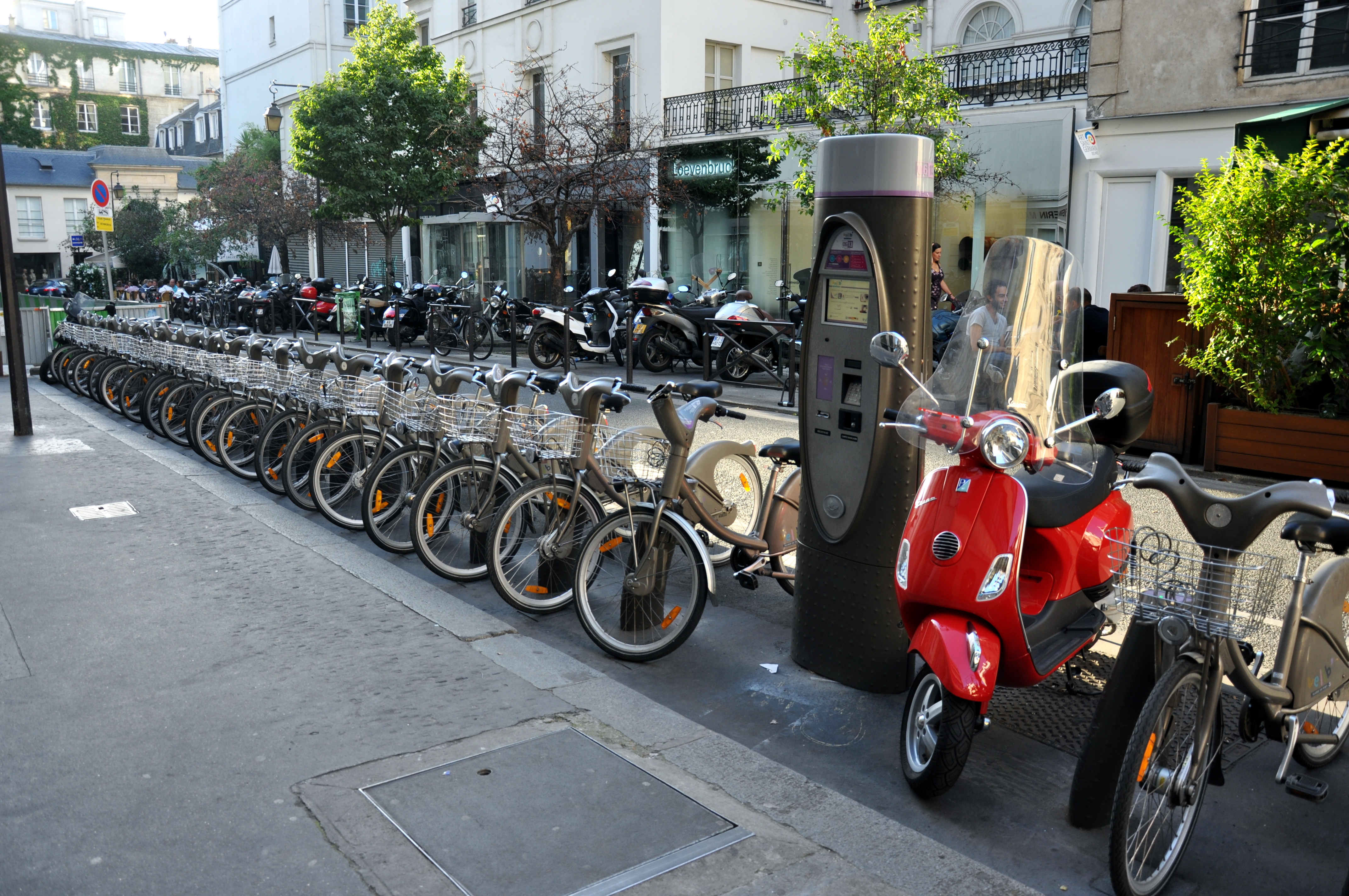
The Rower.City application, developed specifically for the Polish market, sources its data directly from municipal Zarządy Dróg and updates more frequently in major cities. It covers Veturilo and Wavelo docking stations alongside route data. For route verification in Warsaw, the ZDM's own online map (zdm.waw.pl) provides current infrastructure status.
Urban cycling associations including Rowerowa Polska publish annual audits of major city networks and document missing links in the infrastructure that route apps tend to route around silently.
Seasonal Conditions
Polish winters require consideration. Dedicated off-road cycle paths are cleared in cities that have adopted year-round cycling as a stated policy objective — Warsaw, Wrocław, and Gdańsk formally include cycle path clearing in their winter maintenance contracts. In practice, clearing speed varies by district, and the narrower asphalt strips alongside main roads are cleared faster than off-road paths through parks.
Surface conditions after freeze-thaw cycles in spring present the highest pothole risk. The post-winter period (March to early April) sees a sharp increase in reported surface damage on older paths. Municipal reporting portals in most large cities allow cyclists to log specific location coordinates for surface defects, which feed into annual resurfacing schedules.